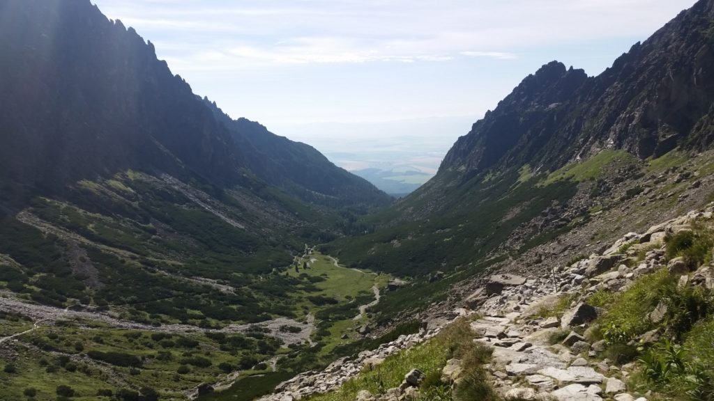
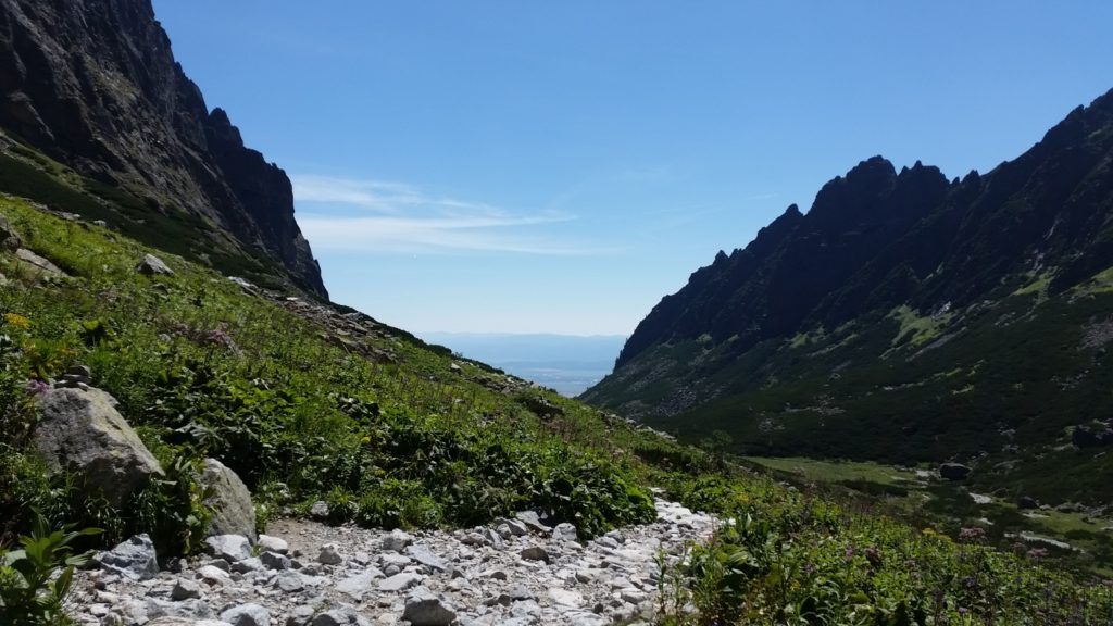
Not to get lost, there are approximately 600 km of marked hiking trails in the national park High Tatras, TANAP, Slovakia. Trails have been chosen to guide to the most beautiful and interesting natural phenomena and still be safe.
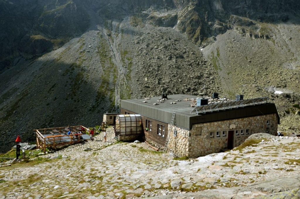
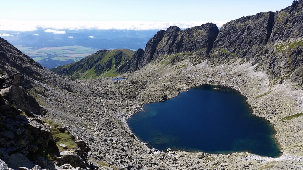
They head to beautiful places such as Tatra chalets, waterfalls, tarns, several peaks and saddles though Tatra valleys so do not sit at home and go hike! You will certainly love it!
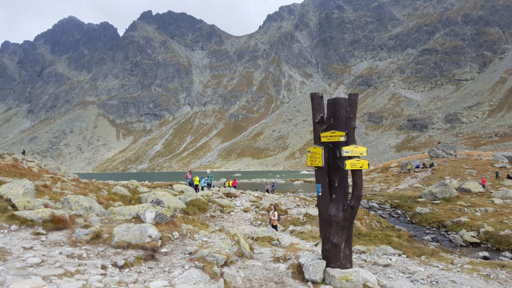
We bring you also some vocabulary because you can find it useful while hiking and it will help you to understand the guideposts:
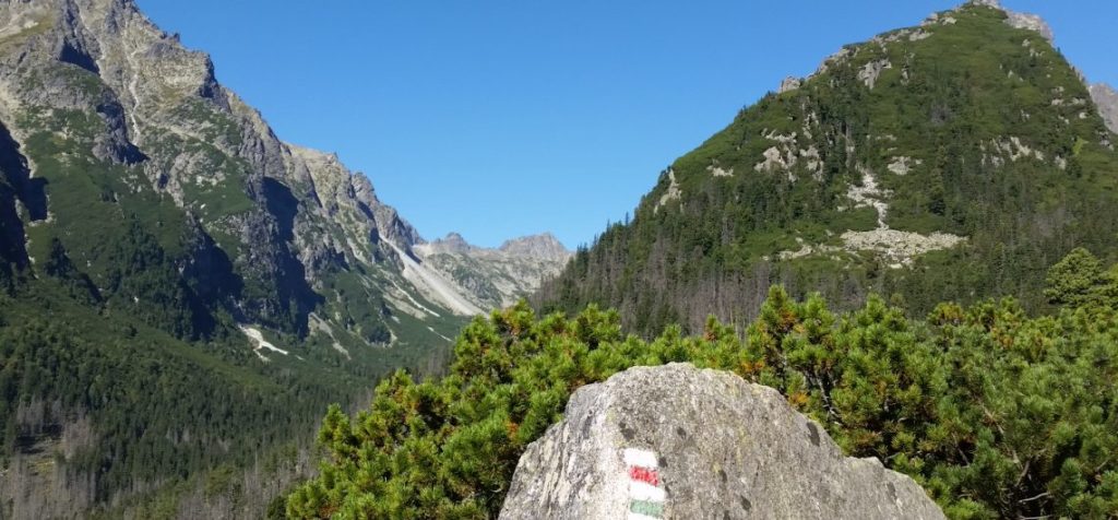
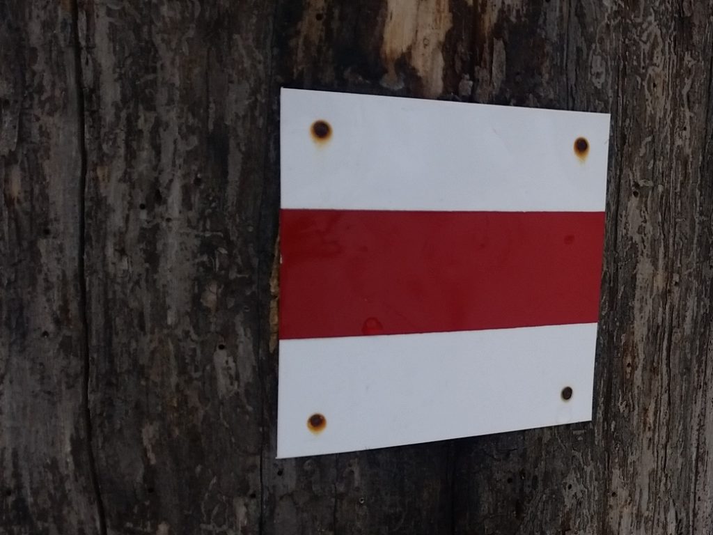
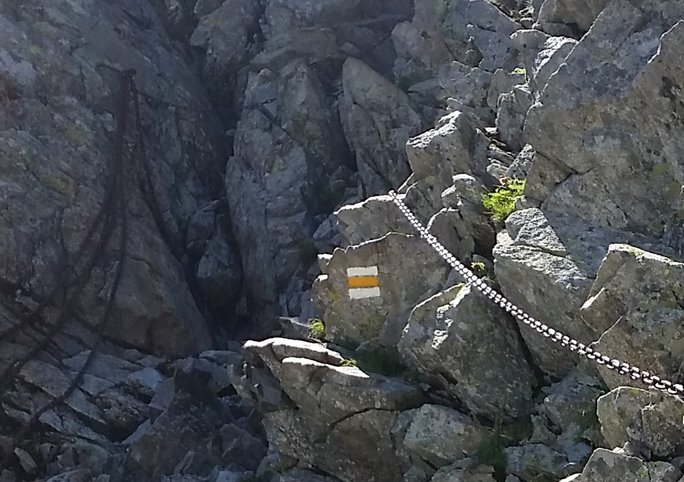
As a tourist you must strictly follow the rules of the Tatra national park. Also you must follow trails with marks on rocks and trees. These marks have a square shape (10 cm x 10 cm). It consists of three horizontal lines.
The middle one is colourful (yellow, red, blue, green) and the bottom and upper one is white. You always follow the same colour on your route.
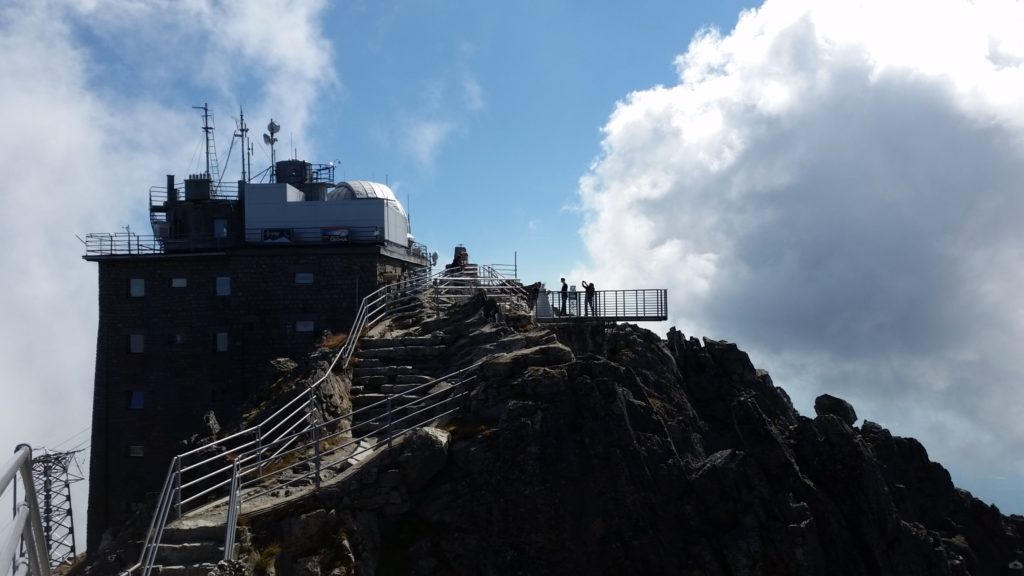
Red mark is used for ridges. The longest and the most famous red marked hiking trail is called Tatranská magistrála, the main hiking trail.
It crosses whole High Tatras in approximately the same altitude and starts in Podbanské in the west and ends in Veľké Biele pleso in the east. Its length is 46.25 km and it is divided into five sections:
Blue mark is used for long-distance trails. These include e.g.:
trails to: Kriváň
Popradské pleso
Slavkovský štít
Green mark is used for trails that guide you to other trails. They are used for accessing the upper parts and include e.g.:

To: Kriváň
Hrebienok and Téryho chata
Chata Plesnivec and Veľké Biele pleso
Yellow marked trails connect trails of different colours and include e.g.:
from:
– Mlynická dolina to Furkotská dolina, though saddle Bystrá lávka
– Téryho chata to Zbojnícka chata though saddle Priečne sedlo
– Jahňací štít
There are also guideposts with approximate times to another guideposts or final destinations. Way up is more difficult and longer, way down is quicker and it can also differ from your own tempo. Times do not include time for breaks or taking pictures.
Moreover, there are several informational boards on the trails, they present information about fauna, flora, geology and history of the park. You can stop by and learn new information.
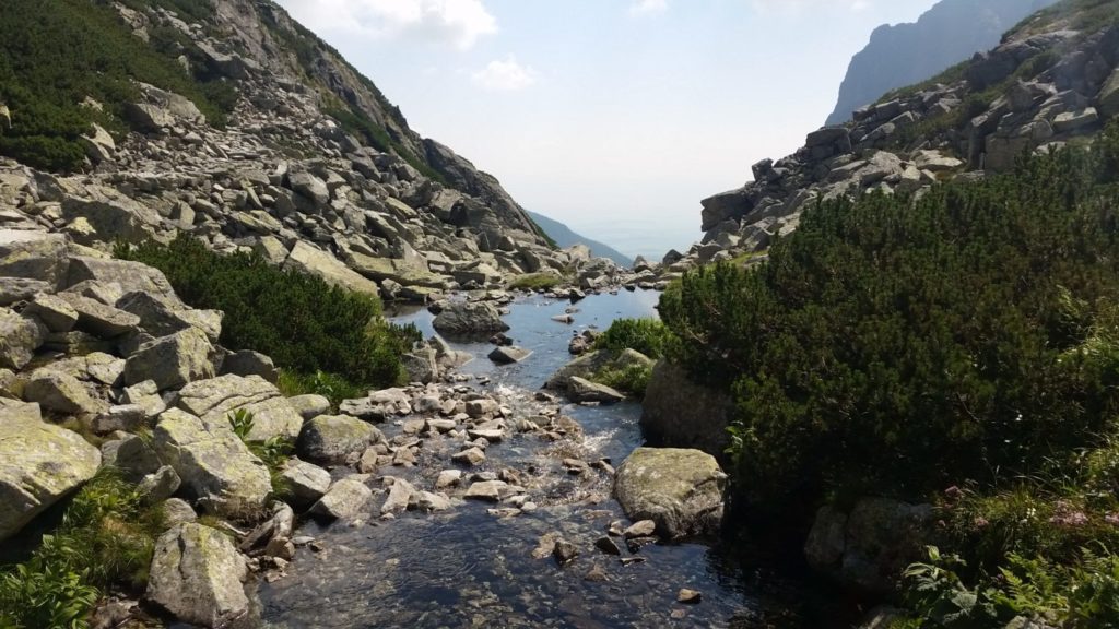
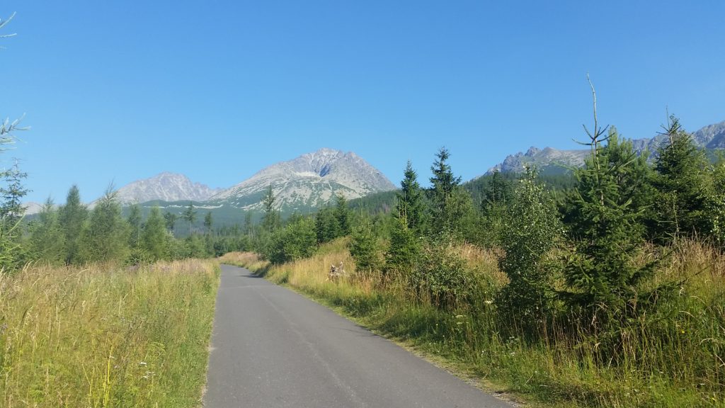
There are two types of trails. Ones are from asphalt for cyclists and serve for easier supply by car. However, no cars, except TANAP ones or with the permission of The State forests of TANAP are allowed on the area of the park the other trails are natural – from rocks, roots with streams and small bridges above bigger ones.
Lately, a project Tatry bez bariér (Tatras without barriers) has made Tatras accessible also for disabled. More than 30 km in 8 trails are prepared. These are suitable also for families with prams, e.g.:
Some trails are easier thanks to funicular or cable car.
funicular – Starý Smokovec – Hrebienok
cable cars: – Tatranská Lomnica – Štart – Skalnaté pleso
– Skalnaté pleso – Lomnický štít
– Skalnaté pleso – Lomnické sedlo
Rocks have been organized to paths or stairs to help you walk. Some places are too steep and equipped with chains to help you go up and down. Therefore, some saddles or narrow crossings are possible, recommended to pass only one way. Do not be afraid because you will be informed before reaching them.
Beware because some trails are closed from the 1st November to 15th June cause of your safety in winter (ice and avalanches) and for safety of animal offspring and protection of nature.
In this period, winter marks are used – tall posts marked with colours, you can hike only up to the level of Tatra chalets, except the Chata pod Rysmi (Chalet below the peak Rysy).
All accessible trails are marked with colours. Ways to other upper destinations and peaks are accessible only with a booked mountain guide or if you are a climber. The most famous one is probably to Gerlachovský štít.
If you like our post, you can share it with your friends because we have more of them!
Thank you.